
河东镇 topographic map
Interactive map
Click on the map to display elevation.
About this map
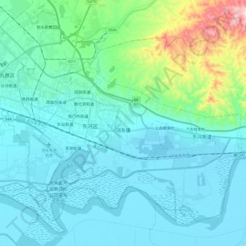
Name: 河东镇 topographic map, elevation, terrain.
Location: 河东镇, 东河区, 包头市, 内蒙古自治区, 014000, 中国 (40.53228 109.95603 40.61863 110.18256)
Average elevation: 1,096 m
Minimum elevation: 997 m
Maximum elevation: 1,663 m
Other topographic maps
Click on a map to view its topography, its elevation and its terrain.