
Easton Township topographic map
Interactive map
Click on the map to display elevation.
About this map
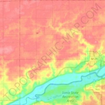
Name: Easton Township topographic map, elevation, terrain.
Location: Easton Township, Ionia County, Michigan, United States (42.93973 -85.19377 43.03232 -85.07500)
Average elevation: 238 m
Minimum elevation: 187 m
Maximum elevation: 268 m