
Thank you for supporting this site ❤️
Make a donation
Make a donation
Gear up for your next adventure:
As an Amazon Associate, this site earns from qualifying purchases at no extra cost to you.
Tsinga topographic map
Click on the map to display elevation.
Thank you for supporting this site ❤️
Make a donation
Make a donation
Gear up for your next adventure:
As an Amazon Associate, this site earns from qualifying purchases at no extra cost to you.
About this map
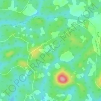
Name: Tsinga topographic map, elevation, terrain.
Location: Tsinga, Nkolafamba, Méfou-et-Afamba, Centre, Cameroon (3.86899 11.76731 3.90899 11.80731)
Average elevation: 730 m
Minimum elevation: 688 m
Maximum elevation: 843 m
Thank you for supporting this site ❤️
Make a donation
Make a donation
Gear up for your next adventure:
As an Amazon Associate, this site earns from qualifying purchases at no extra cost to you.