
Thank you for supporting this site ❤️
Make a donation
Make a donation
Gear up for your next adventure:
As an Amazon Associate, this site earns from qualifying purchases at no extra cost to you.
Anchicha topographic map
Click on the map to display elevation.
Thank you for supporting this site ❤️
Make a donation
Make a donation
Gear up for your next adventure:
As an Amazon Associate, this site earns from qualifying purchases at no extra cost to you.
About this map
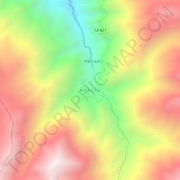
Name: Anchicha topographic map, elevation, terrain.
Location: Anchicha, Chacoche, Province of Abancay, Apurímac, Peru (-14.00446 -73.02697 -13.96446 -72.98697)
Average elevation: 3,877 m
Minimum elevation: 3,090 m
Maximum elevation: 4,536 m
Thank you for supporting this site ❤️
Make a donation
Make a donation
Gear up for your next adventure:
As an Amazon Associate, this site earns from qualifying purchases at no extra cost to you.