
Beloi topographic map
Interactive map
Click on the map to display elevation.
About this map
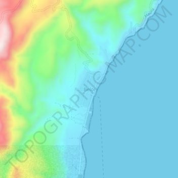
Name: Beloi topographic map, elevation, terrain.
Location: Beloi, Atauro, Dili, East Timor (-8.24070 125.58876 -8.20070 125.62876)
Average elevation: 96 m
Minimum elevation: -1 m
Maximum elevation: 482 m