
Lincoln topographic map
Interactive map
Click on the map to display elevation.
About this map
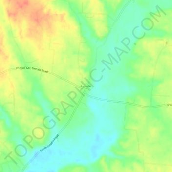
Name: Lincoln topographic map, elevation, terrain.
Location: Lincoln, Lincoln County, Tennessee, United States (34.99509 -86.52749 35.03509 -86.48749)
Average elevation: 253 m
Minimum elevation: 231 m
Maximum elevation: 279 m