
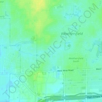
West Branch Du Page River topographic map
Interactive map
Click on the map to display elevation.
About this map
Name: West Branch Du Page River topographic map, elevation, terrain.
Average elevation: 249 m
Minimum elevation: 242 m
Maximum elevation: 259 m
Other topographic maps
Click on a map to view its topography, its elevation and its terrain.
Duxbury Park
United States > Illinois > Cook County > Schaumburg
Duxbury Park, Weathersfield, Schaumburg, Schaumburg Township, Cook County, Illinois, United States
Average elevation: 249 m