
Samper topographic map
Interactive map
Click on the map to display elevation.
About this map
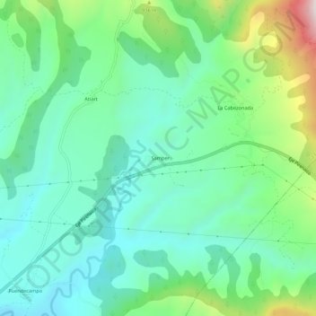
Name: Samper topographic map, elevation, terrain.
Location: Samper, Sobrarbe, Huesca, Aragón, España (42.40958 0.26898 42.44958 0.30898)
Average elevation: 788 m
Minimum elevation: 617 m
Maximum elevation: 1,258 m