
Arjuna topographic map
Click on the map to display elevation.
About this map
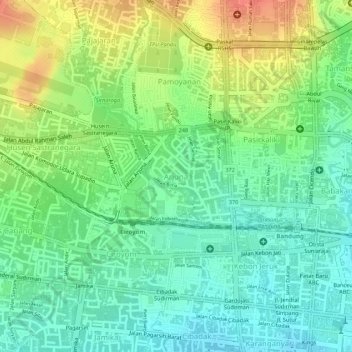
Name: Arjuna topographic map, elevation, terrain.
Location: Arjuna, Cicendo, Bandung, West Java, Java, 40172, Indonesia (-6.91432 107.58768 -6.90641 107.59811)
Average elevation: 726 m
Minimum elevation: 703 m
Maximum elevation: 756 m
Other topographic maps
Click on a map to view its topography, its elevation and its terrain.