
Thank you for supporting this site ❤️
Make a donation
Make a donation
Gear up for your next adventure:
As an Amazon Associate, this site earns from qualifying purchases at no extra cost to you.
Sangyuanli topographic map
Click on the map to display elevation.
Thank you for supporting this site ❤️
Make a donation
Make a donation
Gear up for your next adventure:
As an Amazon Associate, this site earns from qualifying purchases at no extra cost to you.
About this map
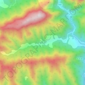
Name: Sangyuanli topographic map, elevation, terrain.
Location: Sangyuanli, Kang County, Longnan, Gansu, China (33.28138 105.57781 33.32138 105.61781)
Average elevation: 1,480 m
Minimum elevation: 1,119 m
Maximum elevation: 1,899 m
Thank you for supporting this site ❤️
Make a donation
Make a donation
Gear up for your next adventure:
As an Amazon Associate, this site earns from qualifying purchases at no extra cost to you.