
Enxames topographic map
Interactive map
Click on the map to display elevation.
About this map
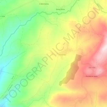
Name: Enxames topographic map, elevation, terrain.
Location: Enxames, Vilardevós, Verín, Ourense, Galicien, 32616, Spanien (41.86969 -7.36062 41.89694 -7.30484)
Average elevation: 731 m
Minimum elevation: 500 m
Maximum elevation: 974 m