
三道岭 topographic map
Interactive map
Click on the map to display elevation.
About this map
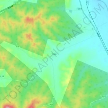
Name: 三道岭 topographic map, elevation, terrain.
Location: 三道岭, Shulan City, Jilin City, Jilin, China (44.30305 126.92099 44.34305 126.96099)
Average elevation: 284 m
Minimum elevation: 242 m
Maximum elevation: 367 m
Other topographic maps
Click on a map to view its topography, its elevation and its terrain.