
Reddygudem topographic map
Interactive map
Click on the map to display elevation.
About this map
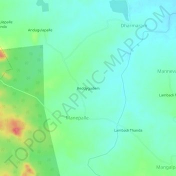
Name: Reddygudem topographic map, elevation, terrain.
Location: Reddygudem, Medak, Telangana, India (17.87197 78.26546 17.91197 78.30546)
Average elevation: 497 m
Minimum elevation: 477 m
Maximum elevation: 551 m