
İstiklal Mahallesi topographic map
Interactive map
Click on the map to display elevation.
About this map
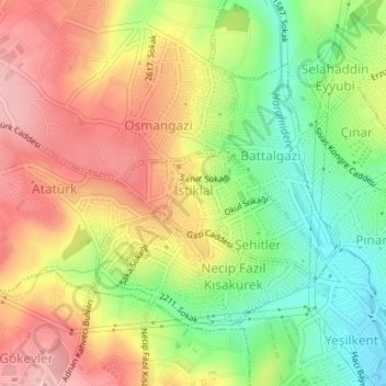
Name: İstiklal Mahallesi topographic map, elevation, terrain.
Location: İstiklal Mahallesi, Esenyurt, Istanbul, Marmara Region, Turkey (41.03380 28.64247 41.03981 28.65612)
Average elevation: 118 m
Minimum elevation: 40 m
Maximum elevation: 193 m