
Borlo topographic map
Interactive map
Click on the map to display elevation.
About this map
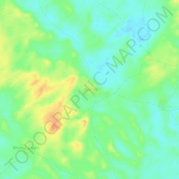
Name: Borlo topographic map, elevation, terrain.
Location: Borlo, Tharparkar District, Sind, Pakistan (24.63712 70.92287 24.67712 70.96287)
Average elevation: 32 m
Minimum elevation: 16 m
Maximum elevation: 56 m