
Santa Uxía de Asma topographic map
Interactive map
Click on the map to display elevation.
About this map
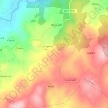
Name: Santa Uxía de Asma topographic map, elevation, terrain.
Location: Santa Uxía de Asma, Chantada, Lugo, Galicien, Spanien (42.56363 -7.83622 42.59290 -7.80109)
Average elevation: 655 m
Minimum elevation: 526 m
Maximum elevation: 755 m
Other topographic maps
Click on a map to view its topography, its elevation and its terrain.