
McArthur topographic map
Interactive map
Click on the map to display elevation.
About this map
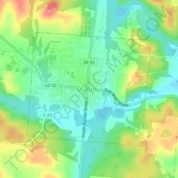
Name: McArthur topographic map, elevation, terrain.
Location: McArthur, Vinton County, Ohio, United States (39.23791 -82.49079 39.25507 -82.46654)
Average elevation: 241 m
Minimum elevation: 211 m
Maximum elevation: 288 m