
Altenpleen topographic map
Interactive map
Click on the map to display elevation.
About this map
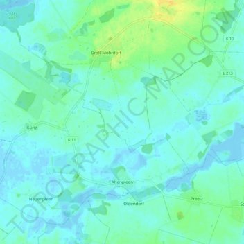
Name: Altenpleen topographic map, elevation, terrain.
Location: Altenpleen, Vorpommern-Rügen, Mecklenburg-Vorpommern, Germany (54.34386 12.87963 54.39687 12.98780)
Average elevation: 4 m
Minimum elevation: -7 m
Maximum elevation: 22 m