
Lebnoud topographic map
Interactive map
Click on the map to display elevation.
About this map
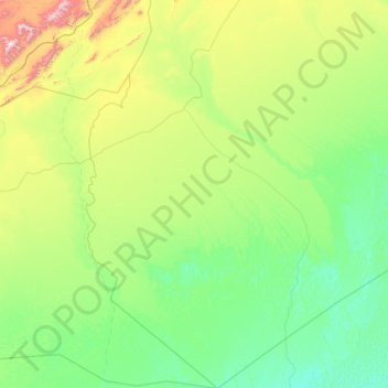
Name: Lebnoud topographic map, elevation, terrain.
Location: Lebnoud, El Abiodh Sidi Cheikh District, El Bayadh, Algeria (30.70166 -0.41587 32.71073 1.10182)
Average elevation: 726 m
Minimum elevation: 492 m
Maximum elevation: 2,155 m
Other topographic maps
Click on a map to view its topography, its elevation and its terrain.
El Abiodh Sidi Cheikh
Algeria > El Bayadh > El Abiodh Sidi Cheikh District > El Abiodh Sidi Cheikh
Average elevation: 776 m