
Çan topographic map
Interactive map
Click on the map to display elevation.
About this map
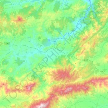
Name: Çan topographic map, elevation, terrain.
Location: Çan, Canakkale, Marmara Region, 17400, Turkey (39.80990 26.79521 40.16123 27.23348)
Average elevation: 348 m
Minimum elevation: 39 m
Maximum elevation: 1,102 m
Other topographic maps
Click on a map to view its topography, its elevation and its terrain.