
Thank you for supporting this site ❤️
Make a donation
Make a donation
Gear up for your next adventure:
As an Amazon Associate, this site earns from qualifying purchases at no extra cost to you.
Saño topographic map
Click on the map to display elevation.
Thank you for supporting this site ❤️
Make a donation
Make a donation
Gear up for your next adventure:
As an Amazon Associate, this site earns from qualifying purchases at no extra cost to you.
About this map
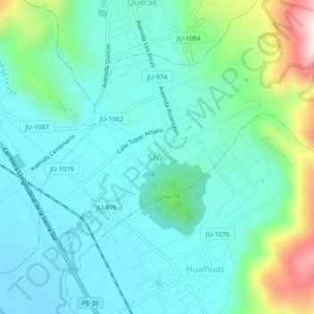
Name: Saño topographic map, elevation, terrain.
Location: Saño, San Pedro de Saño, Huancayo, Junín, Perú (-11.97733 -75.27729 -11.93733 -75.23729)
Average elevation: 3,343 m
Minimum elevation: 3,226 m
Maximum elevation: 3,762 m
Thank you for supporting this site ❤️
Make a donation
Make a donation
Gear up for your next adventure:
As an Amazon Associate, this site earns from qualifying purchases at no extra cost to you.