
崖宜 topographic map
Interactive map
Click on the map to display elevation.
About this map
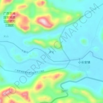
Name: 崖宜 topographic map, elevation, terrain.
Location: 崖宜, 罗城仫佬族自治县, 河池市, 广西壮族自治区, 中国 (24.86919 109.01115 24.90919 109.05115)
Average elevation: 193 m
Minimum elevation: 99 m
Maximum elevation: 514 m
Other topographic maps
Click on a map to view its topography, its elevation and its terrain.