
X лет Узб ССР topographic map
Interactive map
Click on the map to display elevation.
About this map
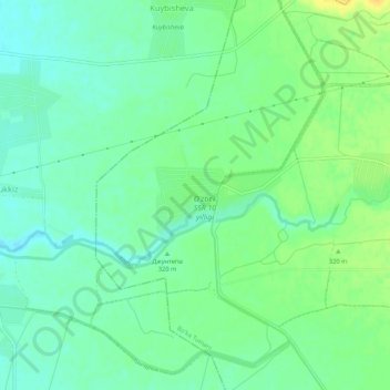
Name: X лет Узб ССР topographic map, elevation, terrain.
Location: X лет Узб ССР, Buka district, Tashkent Region, Uzbekistan (40.76761 69.03323 40.80761 69.07323)
Average elevation: 309 m
Minimum elevation: 298 m
Maximum elevation: 325 m
Other topographic maps
Click on a map to view its topography, its elevation and its terrain.