
Ha Long Bay Heritage Site topographic map
Interactive map
Click on the map to display elevation.
About this map
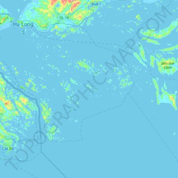
Name: Ha Long Bay Heritage Site topographic map, elevation, terrain.
Average elevation: 9 m
Minimum elevation: -13 m
Maximum elevation: 352 m