
Jardin d'Olhao topographic map
Interactive map
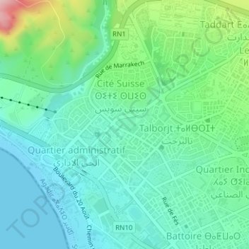
Click on the map to display elevation.
About this map
Name: Jardin d'Olhao topographic map, elevation, terrain.
Average elevation: 52 m
Minimum elevation: -1 m
Maximum elevation: 209 m
Other topographic maps
Click on a map to view its topography, its elevation and its terrain.
Imounsiss
Maroc > Pachalik d'Agadir > Agadir
Imounsiss, Agadir, Pachalik d'Agadir, Préfecture d'Agadir Ida-Outanane, Souss-Massa, 80070, Maroc
Average elevation: 167 m