
Roßbach topographic map
Interactive map
Click on the map to display elevation.
About this map
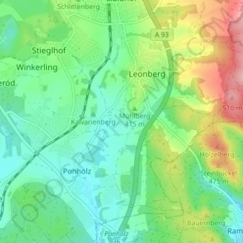
Name: Roßbach topographic map, elevation, terrain.
Average elevation: 401 m
Minimum elevation: 349 m
Maximum elevation: 514 m
Other topographic maps
Click on a map to view its topography, its elevation and its terrain.
Schwarzhof
Deutschland > Bayern > Landkreis Schwandorf > Maxhütte-Haidhof > Ponholz
Schwarzhof, Ponholz, Maxhütte-Haidhof, Landkreis Schwandorf, Bayern, 93142, Deutschland
Average elevation: 384 m