
Garh topographic map
Interactive map
Click on the map to display elevation.
About this map
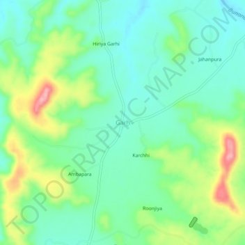
Name: Garh topographic map, elevation, terrain.
Location: Garh, Choti Sarvan Tehsil, Banswara District, Rajasthan, India (23.53311 74.69862 23.57311 74.73862)
Average elevation: 392 m
Minimum elevation: 350 m
Maximum elevation: 483 m