
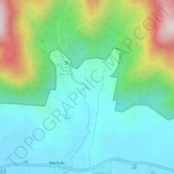
Sungai Batu Pahat topographic map
Interactive map
Click on the map to display elevation.
About this map
Name: Sungai Batu Pahat topographic map, elevation, terrain.
Location: Sungai Batu Pahat, Merbok, Kuala Muda, Kedah, 08110, Malaysia (5.73423 100.41810 5.73459 100.41881)
Average elevation: 155 m
Minimum elevation: 7 m
Maximum elevation: 509 m
Other topographic maps
Click on a map to view its topography, its elevation and its terrain.