
Hetzmannsdorf topographic map
Interactive map
Click on the map to display elevation.
About this map
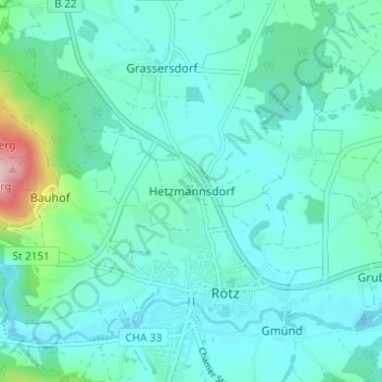
Name: Hetzmannsdorf topographic map, elevation, terrain.
Location: Hetzmannsdorf, Rötz, Landkreis Cham, Bavaria, 92444, Germany (49.33252 12.50661 49.37252 12.54661)
Average elevation: 472 m
Minimum elevation: 439 m
Maximum elevation: 647 m