
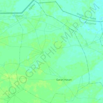
Turbus topographic map
Interactive map
Click on the map to display elevation.
About this map
Name: Turbus topographic map, elevation, terrain.
Location: Turbus, Maigatari, Jigawa State, Nigeria (12.68958 9.64780 12.82470 9.74977)
Average elevation: 359 m
Minimum elevation: 355 m
Maximum elevation: 363 m