Geolocate

Jhanduke topographic map

Click on the map to display elevation.

About this map

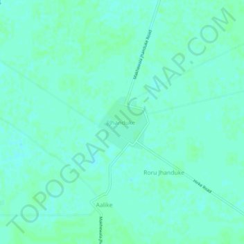
Name: Jhanduke topographic map, elevation, terrain.

Location: Jhanduke, Sardulgarh Tahsil, Mansa, Punjab, 151506, India (29.73107 75.32245 29.77107 75.36245)

Average elevation: 212 m

Minimum elevation: 209 m

Maximum elevation: 214 m

Gear up for your next adventure:

🧥Breathable Waterproof Jackets - Essential rain protection for the unpredictable British climate
🕶️Polarized Sunglasses - Reduces glare from snow and water when reading terrain
👟Waterproof Leg Gaiters - Keep mud and water out of your boots in boggy terrain
🗺️Ordnance Survey Maps - Essential paper maps for hiking across the UK national parks
🔦Outdoor Torches - Reliable torches for night navigation

As an Amazon Associate, this site earns from qualifying purchases at no extra cost to you.