
惠民乡 topographic map
Interactive map
Click on the map to display elevation.
About this map
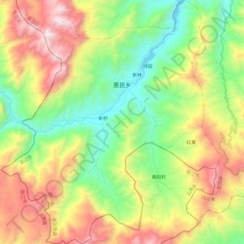
Name: 惠民乡 topographic map, elevation, terrain.
Location: 惠民乡, 盐边县, Panzhihua, Sichuan, China (26.72438 101.35409 26.88473 101.51545)
Average elevation: 1,847 m
Minimum elevation: 1,177 m
Maximum elevation: 2,865 m