
Blera topographic map
Interactive map
Click on the map to display elevation.
About this map
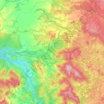
Name: Blera topographic map, elevation, terrain.
Location: Blera, Viterbe, Latium, Italie (42.15257 11.91826 42.29897 12.06453)
Average elevation: 303 m
Minimum elevation: 53 m
Maximum elevation: 611 m