
Batea topographic map
Interactive map
Click on the map to display elevation.
About this map
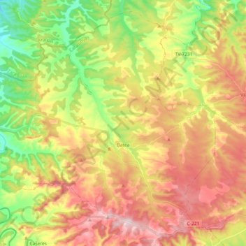
Name: Batea topographic map, elevation, terrain.
Location: Batea, Terra Alta, Tarragona, Catalonië, 43786, Spanje (41.04405 0.20051 41.16850 0.38206)
Average elevation: 366 m
Minimum elevation: 203 m
Maximum elevation: 536 m