
el Mas de Miralles topographic map
Interactive map
Click on the map to display elevation.
About this map
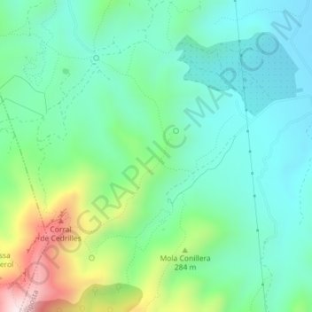
Name: el Mas de Miralles topographic map, elevation, terrain.
Average elevation: 176 m
Minimum elevation: 32 m
Maximum elevation: 567 m
Other topographic maps
Click on a map to view its topography, its elevation and its terrain.
el Poblenou del Delta
Spanien > Katalonien > Amposta > el Poblenou del Delta
el Poblenou del Delta, Amposta, Montsià, Tarragona, Katalonien, 43870, Spanien
Average elevation: -2 m