
Enscherange topographic map
Interactive map
Click on the map to display elevation.
About this map
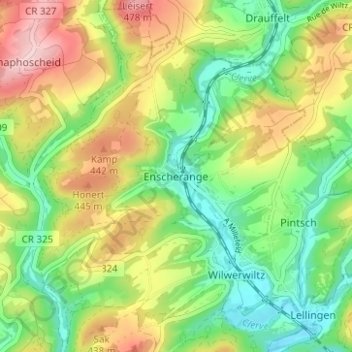
Name: Enscherange topographic map, elevation, terrain.
Location: Enscherange, Kiischpelt, Canton Wiltz, 9747, Luxemburg (49.97892 5.96952 50.01892 6.00952)
Average elevation: 374 m
Minimum elevation: 288 m
Maximum elevation: 495 m