
Quandong topographic map
Interactive map
Click on the map to display elevation.
About this map
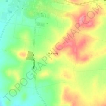
Name: Quandong topographic map, elevation, terrain.
Average elevation: 406 m
Minimum elevation: 356 m
Maximum elevation: 460 m
Other topographic maps
Click on a map to view its topography, its elevation and its terrain.
Black Springs Mountains
Australia > New South Wales > Grenfell
Black Springs Mountains, Grenfell, Weddin Shire Council, New South Wales, 2810, Australia
Average elevation: 545 m