
吾妻 topographic map
Interactive map
Click on the map to display elevation.
About this map
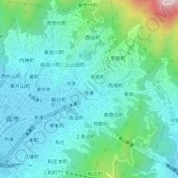
Name: 吾妻 topographic map, elevation, terrain.
Location: 吾妻, 呉市, 広島県, 日本 (34.25134 132.57700 34.25453 132.58197)
Average elevation: 110 m
Minimum elevation: 4 m
Maximum elevation: 547 m