
Kissa topographic map
Interactive map
Click on the map to display elevation.
About this map
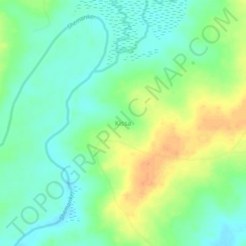
Name: Kissa topographic map, elevation, terrain.
Location: Kissa, Shendam, État de Plateau, Nigéria (8.76333 9.46677 8.80333 9.50677)
Average elevation: 183 m
Minimum elevation: 168 m
Maximum elevation: 205 m