
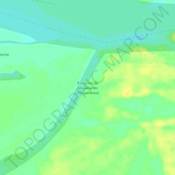
Estrecho de Magallanes (Magallanes) topographic map
Interactive map
Click on the map to display elevation.
About this map
Name: Estrecho de Magallanes (Magallanes) topographic map, elevation, terrain.
Average elevation: 77 m
Minimum elevation: 67 m
Maximum elevation: 88 m