
Kauge topographic map
Interactive map
Click on the map to display elevation.
About this map
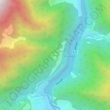
Name: Kauge topographic map, elevation, terrain.
Location: Kauge, Khyber Pakhtunkhwa, Pakistan (35.30623 73.17229 35.34623 73.21229)
Average elevation: 1,402 m
Minimum elevation: 774 m
Maximum elevation: 2,768 m