
Bad Hall topographic map
Interactive map
Click on the map to display elevation.
About this map
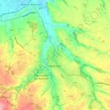
Name: Bad Hall topographic map, elevation, terrain.
Location: Bad Hall, Bezirk Steyr-Land, Upper Austria, 4540, Austria (48.02253 14.17808 48.05846 14.26382)
Average elevation: 389 m
Minimum elevation: 324 m
Maximum elevation: 477 m