
Sangkat Boeung Kak Ti Pir topographic map
Interactive map
Click on the map to display elevation.
About this map
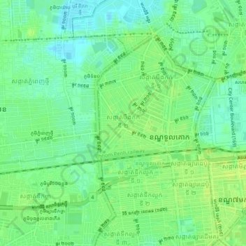
Name: Sangkat Boeung Kak Ti Pir topographic map, elevation, terrain.
Average elevation: 11 m
Minimum elevation: 3 m
Maximum elevation: 18 m