
Nevele topographic map
Interactive map
Click on the map to display elevation.
About this map
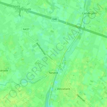
Name: Nevele topographic map, elevation, terrain.
Location: Nevele, Deinze, Gent, East Flanders, Flanders, Belgium (51.01914 3.50380 51.06247 3.57010)
Average elevation: 8 m
Minimum elevation: 2 m
Maximum elevation: 13 m