
Los Cordobas topographic map
Interactive map
Click on the map to display elevation.
About this map
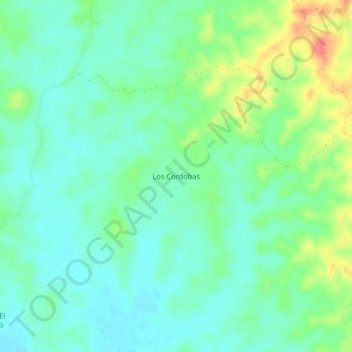
Name: Los Cordobas topographic map, elevation, terrain.
Location: Los Cordobas, Montelíbano, San Jorge, Córdoba, Colombia (8.01129 -75.58391 8.05129 -75.54391)
Average elevation: 65 m
Minimum elevation: 46 m
Maximum elevation: 108 m