
Puerto Velero topographic map
Interactive map
Click on the map to display elevation.
About this map
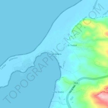
Name: Puerto Velero topographic map, elevation, terrain.
Location: Puerto Velero, Tubará, Atlántico, Colombia (10.93151 -75.04864 10.97151 -75.00864)
Average elevation: 21 m
Minimum elevation: -1 m
Maximum elevation: 198 m