Geolocate

Treia topographic map

Click on the map to display elevation.

About this map
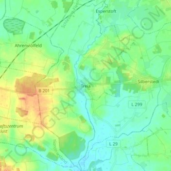
Name: Treia topographic map, elevation, terrain.

Location: Treia, Arensharde, Schleswig-Flensburg, Schleswig-Holstein, 24896, Germany (54.47552 9.28073 54.55415 9.36020)

Average elevation: 11 m

Minimum elevation: -1 m

Maximum elevation: 34 m

Other topographic maps

Click on a map to view its topography, its elevation and its terrain.

Gear up for your next adventure:

🔦LED Camping Lanterns - Illumination for reading maps inside your tent at night
📱Phone Mounts for Hiking - Secure mounts to carry your phone on trails
👟Women's Trail Running Shoes - Agile footwear for fell running and technical trails
👖Convertible Hiking Trousers - Versatile zip-off pants for changing mountain weather conditions
🔋Power Banks - Portable chargers for long outdoor trips

As an Amazon Associate, this site earns from qualifying purchases at no extra cost to you.