
Hetton Steads topographic map
Interactive map
Click on the map to display elevation.
About this map
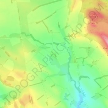
Name: Hetton Steads topographic map, elevation, terrain.
Average elevation: 108 m
Minimum elevation: 52 m
Maximum elevation: 192 m
Northumberland trails, hiking, mountain biking, running and outdoor activities
Other topographic maps
Click on a map to view its topography, its elevation and its terrain.
North Hazelrigg
United Kingdom > England > Northumberland > Chatton > North Hazelrigg
Average elevation: 99 m