
Parque San Martín topographic map
Interactive map
Click on the map to display elevation.
About this map
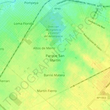
Name: Parque San Martín topographic map, elevation, terrain.
Location: Parque San Martín, Partido de Merlo, Bs. As., Argentinien (-34.71613 -58.77331 -34.66888 -58.70311)
Average elevation: 24 m
Minimum elevation: 12 m
Maximum elevation: 32 m