
Woodbury topographic map
Interactive map
Click on the map to display elevation.
About this map
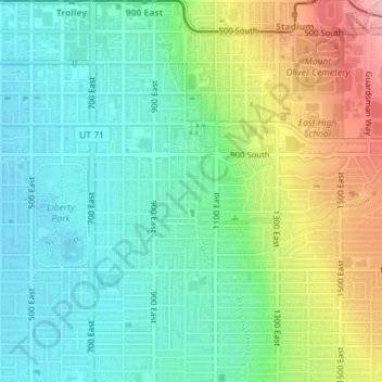
Name: Woodbury topographic map, elevation, terrain.
Average elevation: 1,345 m
Minimum elevation: 1,298 m
Maximum elevation: 1,442 m
Other topographic maps
Click on a map to view its topography, its elevation and its terrain.
Jordan River OHV/ Modelport State Park
United States > Utah > Salt Lake County > Salt Lake City
Average elevation: 1,286 m